
Comment 34 (15 August 2022) – comments and feedback
Back to all comments and feedback from the public
Ryan McNally
RIM submission
The high number of vertices along the Richibucto River made adjusting the map difficult. The proposal is to use Hwy 126 as the boundary for ease of identification.
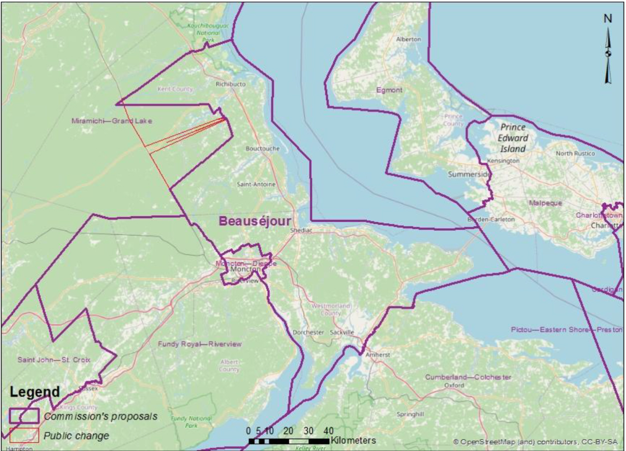
This image shows an alternate map for the riding of Beausejour.